HIST 3405 A Maritime History of Early America, ca. 1450-1850 (also AMST 3404, ASRC 3405, LATA 3405) (HPE, HNA)
Monday and Wednesday: 9:40-10:55
Professor Casey Schmitt
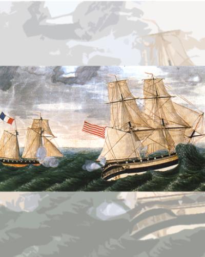
In the early 1590s, a mysterious cartographer drew a map of the Americas for eager and curious European audiences. The orientation of the map was from the perspective of a ship crossing the Atlantic and arriving in the Caribbean, with Newfoundland marking the northern boundary and the islands of the Caribbean marking its southern boundary. The mapmaker knew what he was doing, an entire literary genre in sixteenth-century Europe was devoted to the islands of the Americas. Sixteenth-century Europeans’ obsession with all things maritime and insular point to an important historical fact often overlooked in more land-based histories of colonies and empires: West and West Central Africans, Europeans, and Native Americans encountered one another initially from the bows of canoes, the decks of ships, or sandy beaches. And maritime cultures and technologies continued to influence the development of colonial societies—and resistance to colonization—throughout the colonial period. This course explores the history of Early America from the deck of a ship. Through lectures and readings, we will analyze how the Caribbean Sea and Atlantic Ocean created opportunities for some and cataclysmic misfortune for others. Self-liberated African and Afro-descended mariners, women running port towns in the absence of men, Kalinago pilots, and impressed European sailors will serve as some of our guides through a maritime history of early America.
Link to Course Roster: https://classes.cornell.edu/browse/roster/SP22/class/HIST/3405